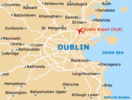
Dublin Airport (DUB)
Orientation and Maps
(Dublin, Ireland)
A lively Irish city resembling a smaller and more friendly version of London, Dublin is one of Ireland's true gems and is understandably the capital city. Standing next to Dublin Bay and the harbour, the city is based around the River Liffey, which divides the centre into two main regions and is crossed by several historic bridges.
On the northern side of the city and close to both the M1 and M50 motorways, Dublin International Airport (DUB) is linked to the city by a series of inexpensive buses and taxis. Around the city centre, public transport is sluggish at times and this area is often teeming with packed guided tour buses, which tend to slow things up a little.
Dublin Airport (DUB) Maps: Important City Districts
The best way to really get the most out of your visit to Dublin is to walk around. Start by taking a tour bus around the city to get your bearings, and then explore the main areas on foot. Dublin is eminently walkable and within a day you will be surprised at what you can achieve.
From the heart of O'Connell Street, it is possible to explore the main shopping precinct, take in the sights around nearby Temple Bar, pop to the Guinness Storehouse and even reach the vast Phoenix Park, home of the city zoo, which is amongst the world's largest public parklands. However, many of Dublin's best tourist attractions are worthy of your time and should not be rushed. It is not difficult to spend half a day or more at the zoo.
Similarly, a tour of the Guinness Storehouse can easily fill much of your schedule. When visiting the Storehouse, make sure than you end your trip by having a free pint at the factory's elevated Gravity Bar. With floor-to-ceiling windows, the bar offers spectacular views of central Dublin and allows you to get more of a feel for the layout of this enchanting city.
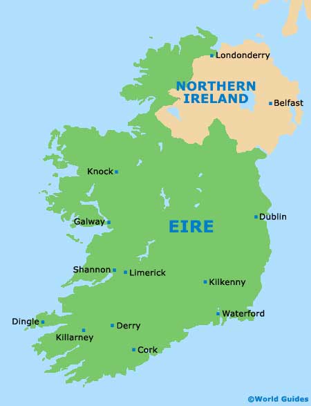
Ireland Map

Dublin Map